Preston under Scar
Introduction
The photograph on this page of Preston under Scar by Gordon Hatton as part of the Geograph project.
The Geograph project started in 2005 with the aim of publishing, organising and preserving representative images for every square kilometre of Great Britain, Ireland and the Isle of Man.

There are currently over 7.5m images from over 14,400 individuals and you can help contribute to the project by visiting https://www.geograph.org.uk
Preston under Scar
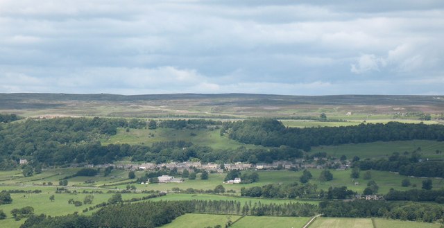
Image: © Gordon Hatton Taken: 13 Jul 2008
The view of the village from the opposite side of the dale. Preston Scar is behind the village, with the limestone quarries almost totally hidden from this angle.
Images are licensed for reuse under creativecommons.org/licenses/by-sa/2.0
Image Location
Latitude
54.315082
Longitude
-1.892365