Poundstock: realigning the A39 at Bangors
Introduction
The photograph on this page of Poundstock: realigning the A39 at Bangors by Martin Bodman as part of the Geograph project.
The Geograph project started in 2005 with the aim of publishing, organising and preserving representative images for every square kilometre of Great Britain, Ireland and the Isle of Man.

There are currently over 7.5m images from over 14,400 individuals and you can help contribute to the project by visiting https://www.geograph.org.uk
Poundstock: realigning the A39 at Bangors
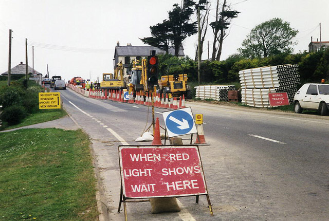
Image: © Martin Bodman Taken: Unknown
Construction work to reduce a hump on the trunk road
Images are licensed for reuse under creativecommons.org/licenses/by-sa/2.0
Image Location


Leaflet Map data © OpenStreetMap
Latitude
50.765918
Longitude
-4.541797