Folly Farm and the valley of the Devil's Water
Introduction
The photograph on this page of Folly Farm and the valley of the Devil's Water by Oliver Dixon as part of the Geograph project.
The Geograph project started in 2005 with the aim of publishing, organising and preserving representative images for every square kilometre of Great Britain, Ireland and the Isle of Man.

There are currently over 7.5m images from over 14,400 individuals and you can help contribute to the project by visiting https://www.geograph.org.uk
Folly Farm and the valley of the Devil's Water
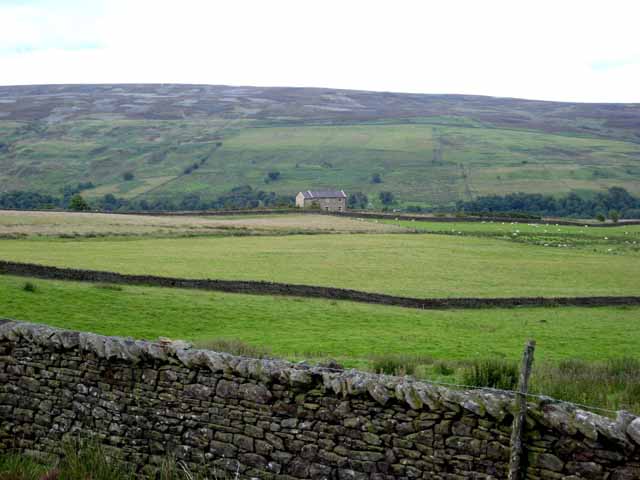
Image: © Oliver Dixon Taken: 13 Jul 2008
Bulbeck Common and Blanchland Moor beyond.
Images are licensed for reuse under creativecommons.org/licenses/by-sa/2.0
Image Location
Latitude
54.866215
Longitude
-2.133649