Farmland, Stokenchurch
Introduction
The photograph on this page of Farmland, Stokenchurch by Andrew Smith as part of the Geograph project.
The Geograph project started in 2005 with the aim of publishing, organising and preserving representative images for every square kilometre of Great Britain, Ireland and the Isle of Man.

There are currently over 7.5m images from over 14,400 individuals and you can help contribute to the project by visiting https://www.geograph.org.uk
Farmland, Stokenchurch
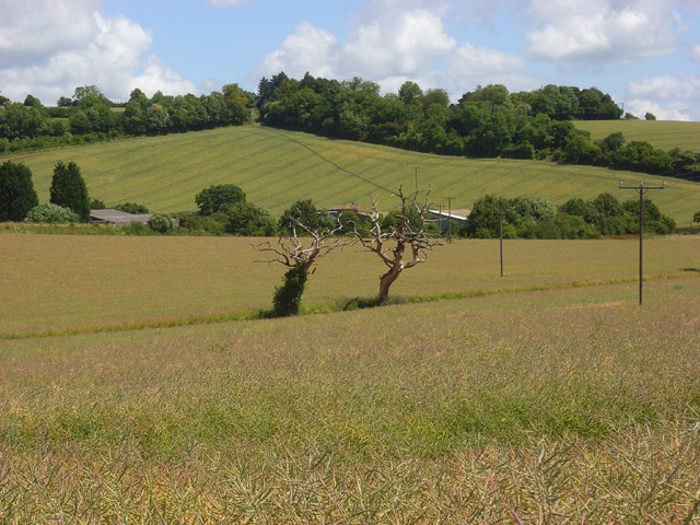
Image: © Andrew Smith Taken: 5 Jul 2008
The dead trees are on Collier's Lane (bridleway) which has oil-seed rape to either side. Beyond are farm buildings on Grange Farm Road and a field of wheat with a footpath (the Chiltern Way) climbing up through it.
Images are licensed for reuse under creativecommons.org/licenses/by-sa/2.0
Image Location
Latitude
51.670011
Longitude
-0.877838