Maize, Stokenchurch
Introduction
The photograph on this page of Maize, Stokenchurch by Andrew Smith as part of the Geograph project.
The Geograph project started in 2005 with the aim of publishing, organising and preserving representative images for every square kilometre of Great Britain, Ireland and the Isle of Man.

There are currently over 7.5m images from over 14,400 individuals and you can help contribute to the project by visiting https://www.geograph.org.uk
Maize, Stokenchurch
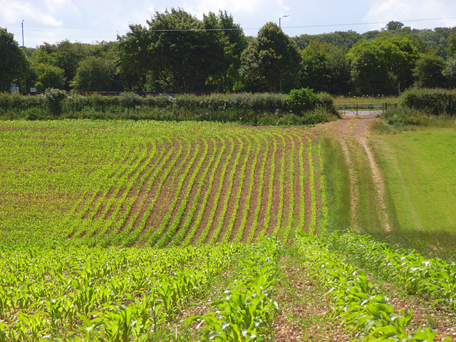
Image: © Andrew Smith Taken: 5 Jul 2008
Beside the footpath heading towards the A40 (where the street lights are). The patch of tarmac is on a lay-by at the junction with the road to Radnage.
Images are licensed for reuse under creativecommons.org/licenses/by-sa/2.0
Image Location


Leaflet Map data © OpenStreetMap
Latitude
51.657495
Longitude
-0.885376