Southridge Farm
Introduction
The photograph on this page of Southridge Farm by Pam Brophy as part of the Geograph project.
The Geograph project started in 2005 with the aim of publishing, organising and preserving representative images for every square kilometre of Great Britain, Ireland and the Isle of Man.

There are currently over 7.5m images from over 14,400 individuals and you can help contribute to the project by visiting https://www.geograph.org.uk
Southridge Farm
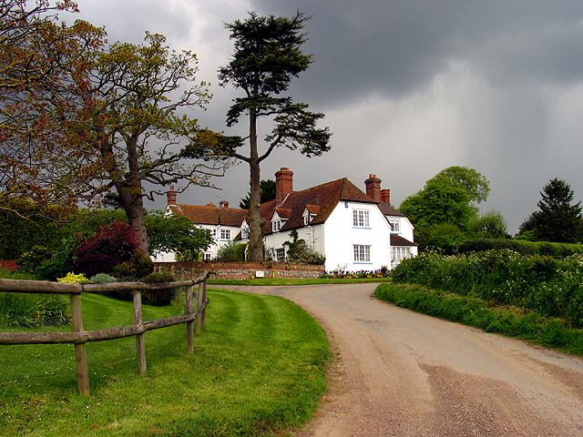
Image: © Pam Brophy Taken: 10 May 2005
The farm is situated in the middle of the eastern half of the square. The picture was taken from the fork in the road looking more or less north.
Images are licensed for reuse under creativecommons.org/licenses/by-sa/2.0
Image Location
Latitude
51.502519
Longitude
-1.172986