View southwards along the Llanberis bypass
Introduction
The photograph on this page of View southwards along the Llanberis bypass by Eric Jones as part of the Geograph project.
The Geograph project started in 2005 with the aim of publishing, organising and preserving representative images for every square kilometre of Great Britain, Ireland and the Isle of Man.

There are currently over 7.5m images from over 14,400 individuals and you can help contribute to the project by visiting https://www.geograph.org.uk
View southwards along the Llanberis bypass
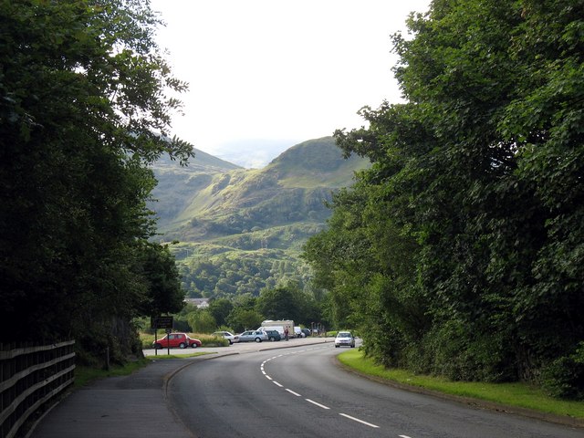
Image: © Eric Jones Taken: 13 Jul 2008
The bypass follows the line of the old L&NWR track.
Images are licensed for reuse under creativecommons.org/licenses/by-sa/2.0
Image Location
Latitude
53.12404
Longitude
-4.12936