Weighton Lock
Introduction
The photograph on this page of Weighton Lock by Ross Church as part of the Geograph project.
The Geograph project started in 2005 with the aim of publishing, organising and preserving representative images for every square kilometre of Great Britain, Ireland and the Isle of Man.

There are currently over 7.5m images from over 14,400 individuals and you can help contribute to the project by visiting https://www.geograph.org.uk
Weighton Lock
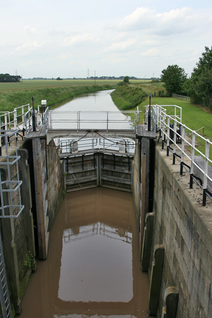
Image: © Ross Church Taken: 24 Jun 2008
Beyond the lock gate is Weighton Canal looking north. The track on the east side becomes a little used footpath, passable, but grown to 4 foot high greenery in places.
Images are licensed for reuse under creativecommons.org/licenses/by-sa/2.0
Image Location
Latitude
53.719853
Longitude
-0.67641