Banwen Pyrddin
Introduction
The photograph on this page of Banwen Pyrddin by Alan Bowring as part of the Geograph project.
The Geograph project started in 2005 with the aim of publishing, organising and preserving representative images for every square kilometre of Great Britain, Ireland and the Isle of Man.

There are currently over 7.5m images from over 14,400 individuals and you can help contribute to the project by visiting https://www.geograph.org.uk
Banwen Pyrddin
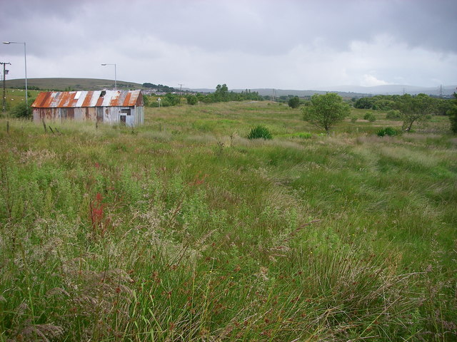
Image: © Alan Bowring Taken: 12 Jul 2008
A view across the wet meadowland which characterises the landscape through which the A4109 Inter Valley Road runs.
Images are licensed for reuse under creativecommons.org/licenses/by-sa/2.0
Image Location


Leaflet Map data © OpenStreetMap
Latitude
51.77548
Longitude
-3.64823