Road to the Sleeping Giant
Introduction
The photograph on this page of Road to the Sleeping Giant by Alan Bowring as part of the Geograph project.
The Geograph project started in 2005 with the aim of publishing, organising and preserving representative images for every square kilometre of Great Britain, Ireland and the Isle of Man.

There are currently over 7.5m images from over 14,400 individuals and you can help contribute to the project by visiting https://www.geograph.org.uk
Road to the Sleeping Giant
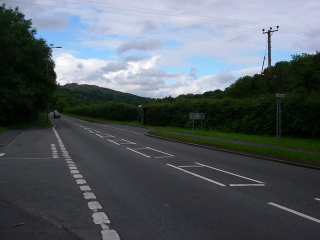
Image: © Alan Bowring Taken: 12 Jul 2008
A view along the section of the A4067 which bypasses Cae'r-Lan. This affords the best view of the Sleeping Giant - the profile of Cribarth as seen from the south-west.
Images are licensed for reuse under creativecommons.org/licenses/by-sa/2.0
Image Location
Latitude
51.796296
Longitude
-3.732664