Disused Railway Bridge, Clayhanger
Introduction
The photograph on this page of Disused Railway Bridge, Clayhanger by Geoff Pick as part of the Geograph project.
The Geograph project started in 2005 with the aim of publishing, organising and preserving representative images for every square kilometre of Great Britain, Ireland and the Isle of Man.

There are currently over 7.5m images from over 14,400 individuals and you can help contribute to the project by visiting https://www.geograph.org.uk
Disused Railway Bridge, Clayhanger
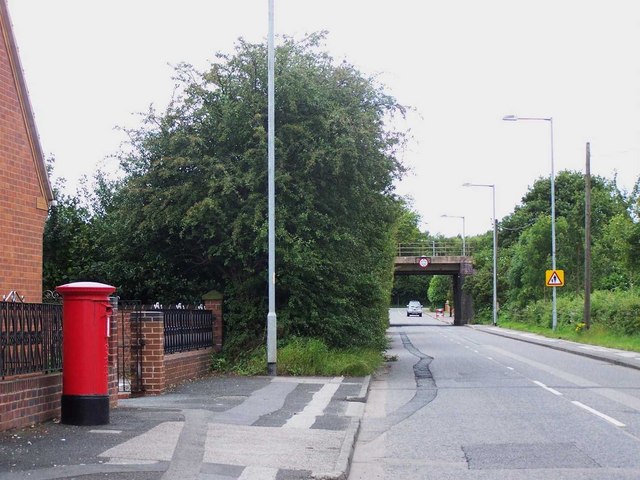
Image: © Geoff Pick Taken: 12 Jul 2008
Under the former Walsall to Lichfield line.
Images are licensed for reuse under creativecommons.org/licenses/by-sa/2.0
Image Location
Latitude
52.643268
Longitude
-1.946162