Durham, weir on the Wear
Introduction
The photograph on this page of Durham, weir on the Wear by hayley green as part of the Geograph project.
The Geograph project started in 2005 with the aim of publishing, organising and preserving representative images for every square kilometre of Great Britain, Ireland and the Isle of Man.

There are currently over 7.5m images from over 14,400 individuals and you can help contribute to the project by visiting https://www.geograph.org.uk
Durham, weir on the Wear
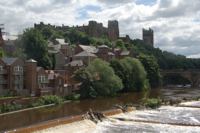
Image: © hayley green Taken: 12 Jul 2008
On the way to the miners gala, can see the flood water coming down from Weardale and the various big bits of trees that have been washed down stream
Images are licensed for reuse under creativecommons.org/licenses/by-sa/2.0
Image Location
Latitude
54.775959
Longitude
-1.577434