Westhood Lane
Introduction
The photograph on this page of Westhood Lane by Chris Heaton as part of the Geograph project.
The Geograph project started in 2005 with the aim of publishing, organising and preserving representative images for every square kilometre of Great Britain, Ireland and the Isle of Man.

There are currently over 7.5m images from over 14,400 individuals and you can help contribute to the project by visiting https://www.geograph.org.uk
Westhood Lane
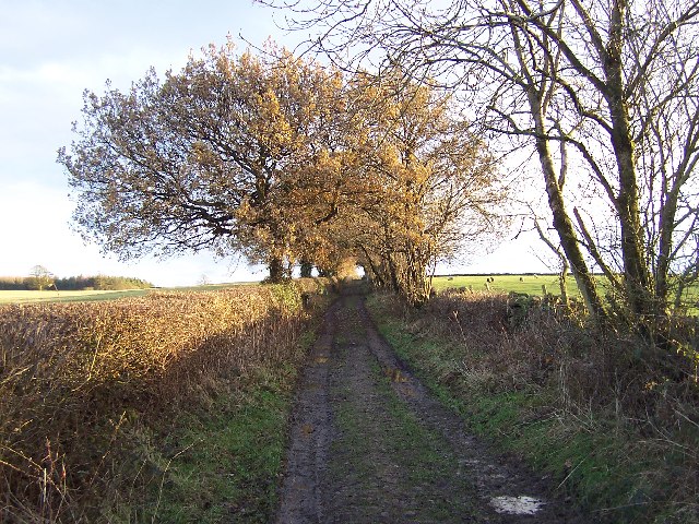
Image: © Chris Heaton Taken: 6 Dec 2005
Green Lane that leads south from the Drovers' Inn - the only pub I know that fits into 4 geograph squares
Images are licensed for reuse under creativecommons.org/licenses/by-sa/2.0
Image Location
Latitude
54.141606
Longitude
-1.678514