Line of disused Stourbridge to Wolverhampton (Low Level) line
Introduction
The photograph on this page of Line of disused Stourbridge to Wolverhampton (Low Level) line by John M as part of the Geograph project.
The Geograph project started in 2005 with the aim of publishing, organising and preserving representative images for every square kilometre of Great Britain, Ireland and the Isle of Man.

There are currently over 7.5m images from over 14,400 individuals and you can help contribute to the project by visiting https://www.geograph.org.uk
Line of disused Stourbridge to Wolverhampton (Low Level) line
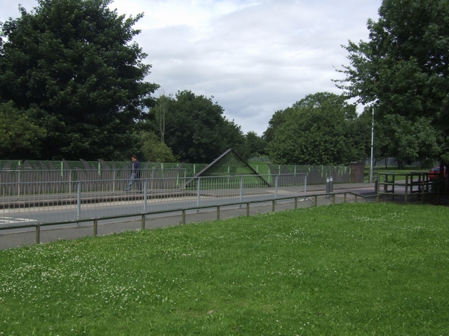
Image: © John M Taken: 12 Jul 2008
The line branched off from the Snow Hill line at Priestfield Station and became disused from early 1960s. The bridges at Ward Street and John Street are in-filled though the ends are marked by the brick pilasters and vertical chevrons. Ground level in the cutting has been raised by many metres.
Images are licensed for reuse under creativecommons.org/licenses/by-sa/2.0
Image Location


Leaflet Map data © OpenStreetMap
Latitude
52.569167
Longitude
-2.094972