Bridge 191A
Introduction
The photograph on this page of Bridge 191A by David Rogers as part of the Geograph project.
The Geograph project started in 2005 with the aim of publishing, organising and preserving representative images for every square kilometre of Great Britain, Ireland and the Isle of Man.

There are currently over 7.5m images from over 14,400 individuals and you can help contribute to the project by visiting https://www.geograph.org.uk
Bridge 191A
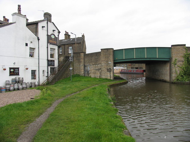
Image: © David Rogers Taken: 9 Jul 2008
Bridge 191A carries Keighley Road over the Leeds & Liverpool Canal at Silsden. Steps at the side of The Bridge public house lead from the towing path up to the road.
Images are licensed for reuse under creativecommons.org/licenses/by-sa/2.0
Image Location


Leaflet Map data © OpenStreetMap
Latitude
53.911486
Longitude
-1.93755