Rock Lane near Castlewellan (1of5)
Introduction
The photograph on this page of Rock Lane near Castlewellan (1of5) by Albert Bridge as part of the Geograph project.
The Geograph project started in 2005 with the aim of publishing, organising and preserving representative images for every square kilometre of Great Britain, Ireland and the Isle of Man.

There are currently over 7.5m images from over 14,400 individuals and you can help contribute to the project by visiting https://www.geograph.org.uk
Rock Lane near Castlewellan (1of5)
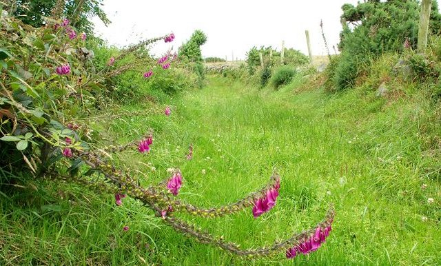
Image: © Albert Bridge Taken: 11 Jul 2008
Rock Lane is a public path running from the Burren Road Image to the Burrenreagh Road. It is firm underfoot but a bit damp in places. Bounded by drystone walls and (in season) displaying a good show of foxgloves. This is close to the Burren Road end. Continue to Image
Images are licensed for reuse under creativecommons.org/licenses/by-sa/2.0
Image Location
Latitude
54.23677
Longitude
-5.957986