Ribble Road
Introduction
The photograph on this page of Ribble Road by MSX as part of the Geograph project.
The Geograph project started in 2005 with the aim of publishing, organising and preserving representative images for every square kilometre of Great Britain, Ireland and the Isle of Man.

There are currently over 7.5m images from over 14,400 individuals and you can help contribute to the project by visiting https://www.geograph.org.uk
Ribble Road
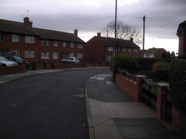
Image: © MSX Taken: 4 Dec 2005
They look like Semis but these houses share common entry halls making them pure Double-Ribblers.
Images are licensed for reuse under creativecommons.org/licenses/by-sa/2.0
Image Location


Leaflet Map data © OpenStreetMap
Latitude
54.928855
Longitude
-1.431958