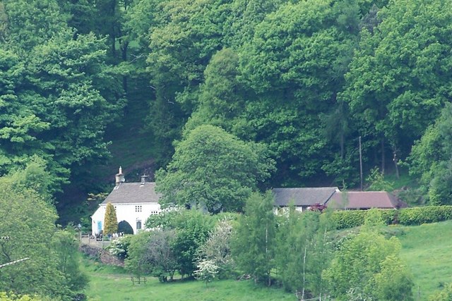
The 'Old School House' at Coldwell, near Oughtibridge
Introduction
The photograph on this page of The 'Old School House' at Coldwell, near Oughtibridge by Terry Robinson as part of the Geograph project.
The Geograph project started in 2005 with the aim of publishing, organising and preserving representative images for every square kilometre of Great Britain, Ireland and the Isle of Man.
There are currently over 7.5m images from over 14,400 individuals and you can help contribute to the project by visiting https://www.geograph.org.uk

Image: © Terry Robinson Taken: 21 May 2008
I have a great book called the 'Countryside Treasure Survey' compiled and written by members of Worrall Women's Institute in 1975. They describe the 'Old School' as "this long, low, whitewashed cottage stands on a gentle wooded slope overlooking Coumes Vale. It has a stone slate roof, and long and short quoins where the South and East walls join" ... can't better that! Allegedly a cottage has stood on this site since the 1100's and it is mentioned in the Domesday Book. It was first used as a school in 1797 and was still being used as such in 1867. It is now a private residence. Image

