2008 : Farm buildings near Thingley Bridge
Introduction
The photograph on this page of 2008 : Farm buildings near Thingley Bridge by Maurice Pullin as part of the Geograph project.
The Geograph project started in 2005 with the aim of publishing, organising and preserving representative images for every square kilometre of Great Britain, Ireland and the Isle of Man.

There are currently over 7.5m images from over 14,400 individuals and you can help contribute to the project by visiting https://www.geograph.org.uk
2008 : Farm buildings near Thingley Bridge
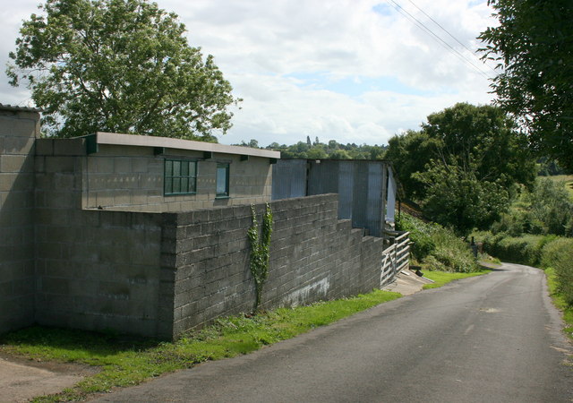
Image: © Maurice Pullin Taken: 8 Jul 2008
Formerly known as Thingley Cottage Farm the farmhouse has been sold and the farm taken over by A N Other.
Images are licensed for reuse under creativecommons.org/licenses/by-sa/2.0
Image Location
Latitude
51.423053
Longitude
-2.158009