Footprint development
Introduction
The photograph on this page of Footprint development by David Long as part of the Geograph project.
The Geograph project started in 2005 with the aim of publishing, organising and preserving representative images for every square kilometre of Great Britain, Ireland and the Isle of Man.

There are currently over 7.5m images from over 14,400 individuals and you can help contribute to the project by visiting https://www.geograph.org.uk
Footprint development
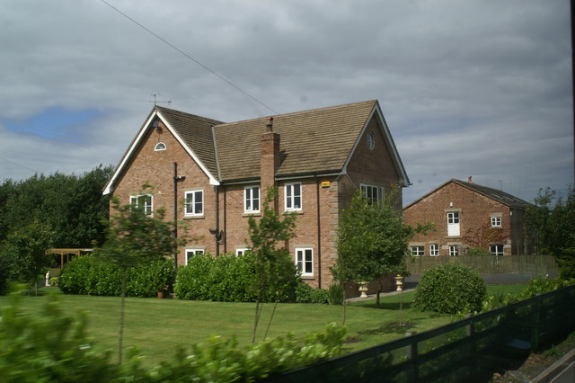
Image: © David Long Taken: 10 Jul 2008
A touch of suburbia is brought to the open fields beside the A570 with this new home on the site of an existing farm house.
Images are licensed for reuse under creativecommons.org/licenses/by-sa/2.0
Image Location
Latitude
53.602557
Longitude
-2.930849