
Bournemouth: postbox № BH2 39, Bodorgan Road
Introduction
The photograph on this page of Bournemouth: postbox № BH2 39, Bodorgan Road by Chris Downer as part of the Geograph project.
The Geograph project started in 2005 with the aim of publishing, organising and preserving representative images for every square kilometre of Great Britain, Ireland and the Isle of Man.

There are currently over 7.5m images from over 14,400 individuals and you can help contribute to the project by visiting https://www.geograph.org.uk
Bournemouth: postbox № BH2 39, Bodorgan Road
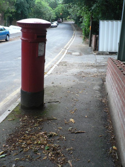
Image: © Chris Downer Taken: 10 Jul 2008
A Victorian postbox, one of those built during the period 1879-1887 when the royal cipher was omitted. During November 2013 it was inspected as part of a routine maintenance programme and its foundations were found to be irreparably rusted. It was therefore replaced by a more modern box: see Image
Images are licensed for reuse under creativecommons.org/licenses/by-sa/2.0
Image Location

Latitude
50.725309
Longitude
-1.878818