Bournemouth: Wellington Road underpass
Introduction
The photograph on this page of Bournemouth: Wellington Road underpass by Chris Downer as part of the Geograph project.
The Geograph project started in 2005 with the aim of publishing, organising and preserving representative images for every square kilometre of Great Britain, Ireland and the Isle of Man.

There are currently over 7.5m images from over 14,400 individuals and you can help contribute to the project by visiting https://www.geograph.org.uk
Bournemouth: Wellington Road underpass
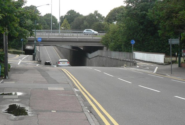
Image: © Chris Downer Taken: 10 Jul 2008
When the Image was put in in the 1970s, rather than elevate the new road further, Wellington Road was lowered to accommodate the bridge. The pavements also dip, but not nearly as much. The adverse camber of the main road above can be discerned from here.
Images are licensed for reuse under creativecommons.org/licenses/by-sa/2.0
Image Location
Latitude
50.72853
Longitude
-1.863933