The village institute
Introduction
The photograph on this page of The village institute by Gordon Hatton as part of the Geograph project.
The Geograph project started in 2005 with the aim of publishing, organising and preserving representative images for every square kilometre of Great Britain, Ireland and the Isle of Man.

There are currently over 7.5m images from over 14,400 individuals and you can help contribute to the project by visiting https://www.geograph.org.uk
The village institute
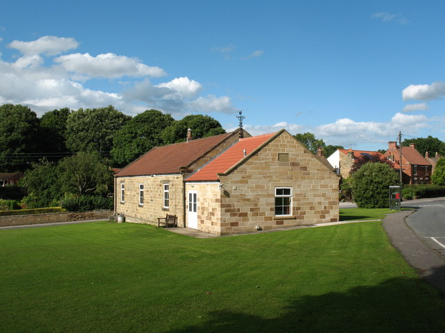
Image: © Gordon Hatton Taken: 10 Jul 2008
The village hall at Knayton stands on a triangular green. Built in 1922, it was enlarged and updated in 2005. The other side of the hall would be in the next square.
Images are licensed for reuse under creativecommons.org/licenses/by-sa/2.0
Image Location


Leaflet Map data © OpenStreetMap
Latitude
54.285629
Longitude
-1.337001