2008 : Whaddon Farm
Introduction
The photograph on this page of 2008 : Whaddon Farm by Maurice Pullin as part of the Geograph project.
The Geograph project started in 2005 with the aim of publishing, organising and preserving representative images for every square kilometre of Great Britain, Ireland and the Isle of Man.

There are currently over 7.5m images from over 14,400 individuals and you can help contribute to the project by visiting https://www.geograph.org.uk
2008 : Whaddon Farm
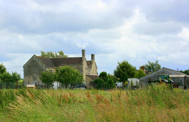
Image: © Maurice Pullin Taken: 8 Jul 2008
Near the end of Whaddon Lane about 1.5 miles north of Hilperton. The River Avon is to the north and the Kennet & Avon Canal to the south. The farmhouse is built on high ground and should be clear of even the worst of floods.
Images are licensed for reuse under creativecommons.org/licenses/by-sa/2.0
Image Location
Latitude
51.350917
Longitude
-2.174704