Trotting track near Betws
Introduction
The photograph on this page of Trotting track near Betws by Nigel Davies as part of the Geograph project.
The Geograph project started in 2005 with the aim of publishing, organising and preserving representative images for every square kilometre of Great Britain, Ireland and the Isle of Man.

There are currently over 7.5m images from over 14,400 individuals and you can help contribute to the project by visiting https://www.geograph.org.uk
Trotting track near Betws
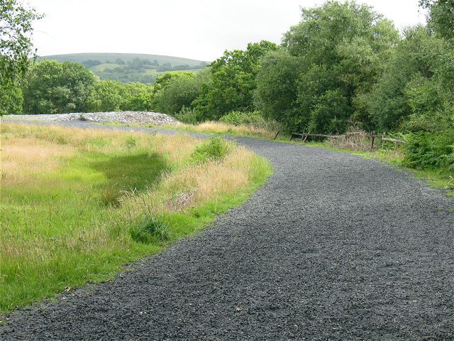
Image: © Nigel Davies Taken: 6 Jul 2008
An unexpected oval bisected by a public right of way. The surface is rubber chips not the stone chippings it appears to be. This is much softer under foot.
Images are licensed for reuse under creativecommons.org/licenses/by-sa/2.0
Image Location
Latitude
51.776908
Longitude
-3.98618