Meldreth War Memorial and bus stop shelter
Introduction
The photograph on this page of Meldreth War Memorial and bus stop shelter by Nigel Cox as part of the Geograph project.
The Geograph project started in 2005 with the aim of publishing, organising and preserving representative images for every square kilometre of Great Britain, Ireland and the Isle of Man.

There are currently over 7.5m images from over 14,400 individuals and you can help contribute to the project by visiting https://www.geograph.org.uk
Meldreth War Memorial and bus stop shelter
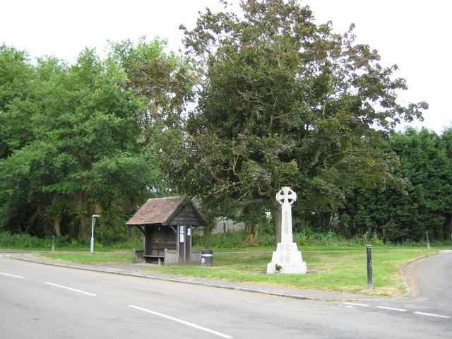
Image: © Nigel Cox Taken: 6 Jul 2008
The War Memorial and the bus stop shelter are on the triangular area of grass at the junction of Whitecroft Road to the right with Station Road to the left.
Images are licensed for reuse under creativecommons.org/licenses/by-sa/2.0
Image Location
Latitude
52.090113
Longitude
0.007308