Meldreth: Nissen huts
Introduction
The photograph on this page of Meldreth: Nissen huts by Nigel Cox as part of the Geograph project.
The Geograph project started in 2005 with the aim of publishing, organising and preserving representative images for every square kilometre of Great Britain, Ireland and the Isle of Man.

There are currently over 7.5m images from over 14,400 individuals and you can help contribute to the project by visiting https://www.geograph.org.uk
Meldreth: Nissen huts
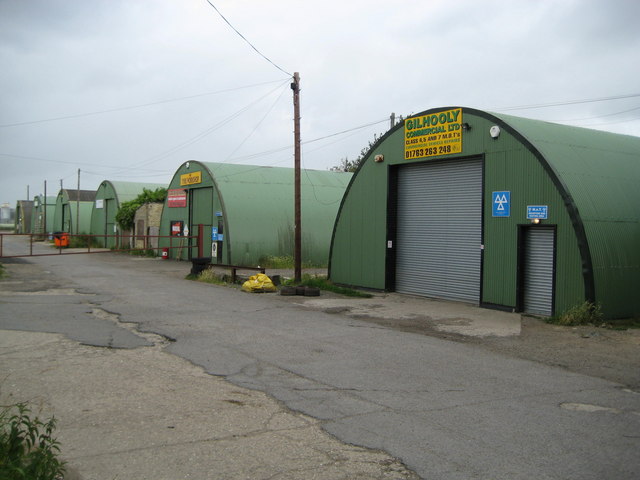
Image: © Nigel Cox Taken: 6 Jul 2008
There are six of these remarkably well maintained large nissen huts in a small industrial estate off Station Road. They certainly date from the Second World War as they are shown as a block of six on the Ordnance Survey's map of 1950. Directly behind them used to run the tramway to the Meldreth Brick Works.
Images are licensed for reuse under creativecommons.org/licenses/by-sa/2.0
Image Location


Leaflet Map data © OpenStreetMap
Latitude
52.089317
Longitude
0.006543