Loch Oire
Introduction
The photograph on this page of Loch Oire by Anne Burgess as part of the Geograph project.
The Geograph project started in 2005 with the aim of publishing, organising and preserving representative images for every square kilometre of Great Britain, Ireland and the Isle of Man.

There are currently over 7.5m images from over 14,400 individuals and you can help contribute to the project by visiting https://www.geograph.org.uk
Loch Oire
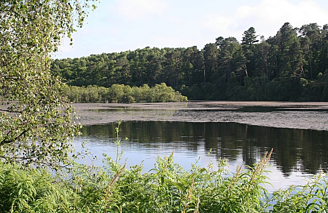
Image: © Anne Burgess Taken: 9 Jul 2008
Much of the surface of the loch seems to be covered with water weed. The loch lies in what may be a kettle hole, surrounded by thickly wooded ridges.
Images are licensed for reuse under creativecommons.org/licenses/by-sa/2.0
Image Location


Leaflet Map data © OpenStreetMap
Latitude
57.631428
Longitude
-3.192311