Farmland Public Footpath
Introduction
The photograph on this page of Farmland Public Footpath by Andy Beecroft as part of the Geograph project.
The Geograph project started in 2005 with the aim of publishing, organising and preserving representative images for every square kilometre of Great Britain, Ireland and the Isle of Man.

There are currently over 7.5m images from over 14,400 individuals and you can help contribute to the project by visiting https://www.geograph.org.uk
Farmland Public Footpath
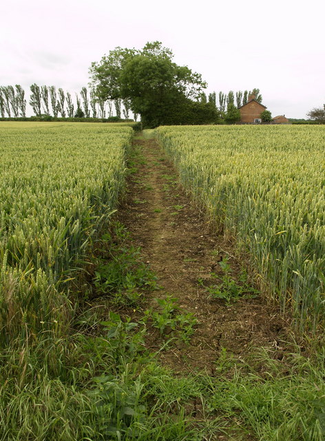
Image: © Andy Beecroft Taken: 8 Jul 2008
This farmer was more considerate than his neighbour by providing a wide path through his crop - the other one had provided and electric fence to cross!
Images are licensed for reuse under creativecommons.org/licenses/by-sa/2.0
Image Location
Latitude
53.714764
Longitude
-0.009503