Wilton Park
Introduction
The photograph on this page of Wilton Park by David Squire as part of the Geograph project.
The Geograph project started in 2005 with the aim of publishing, organising and preserving representative images for every square kilometre of Great Britain, Ireland and the Isle of Man.

There are currently over 7.5m images from over 14,400 individuals and you can help contribute to the project by visiting https://www.geograph.org.uk
Wilton Park
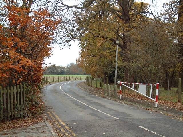
Image: © David Squire Taken: 5 Dec 2005
The red and white barrier represents the boundary between the public road and MOD land. The Defence School of Languages is based at Wilton Park.
Images are licensed for reuse under creativecommons.org/licenses/by-sa/2.0
Image Location


Leaflet Map data © OpenStreetMap
Latitude
51.602637
Longitude
-0.629698