Badly Defaced Information Board
Introduction
The photograph on this page of Badly Defaced Information Board by David Lally as part of the Geograph project.
The Geograph project started in 2005 with the aim of publishing, organising and preserving representative images for every square kilometre of Great Britain, Ireland and the Isle of Man.

There are currently over 7.5m images from over 14,400 individuals and you can help contribute to the project by visiting https://www.geograph.org.uk
Badly Defaced Information Board
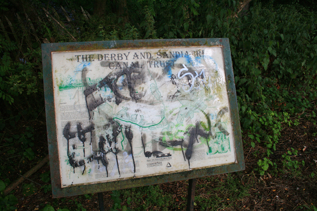
Image: © David Lally Taken: 7 Jul 2008
An information board at the start of the path which follows the filled Derby and Sandiacre Canal. It would have been useful to study the section which shows the map of the former route, but it is illegable.
Images are licensed for reuse under creativecommons.org/licenses/by-sa/2.0
Image Location
Latitude
52.916839
Longitude
-1.285065