River Leen, Radford
Introduction
The photograph on this page of River Leen, Radford by Stephen McKay as part of the Geograph project.
The Geograph project started in 2005 with the aim of publishing, organising and preserving representative images for every square kilometre of Great Britain, Ireland and the Isle of Man.

There are currently over 7.5m images from over 14,400 individuals and you can help contribute to the project by visiting https://www.geograph.org.uk
River Leen, Radford
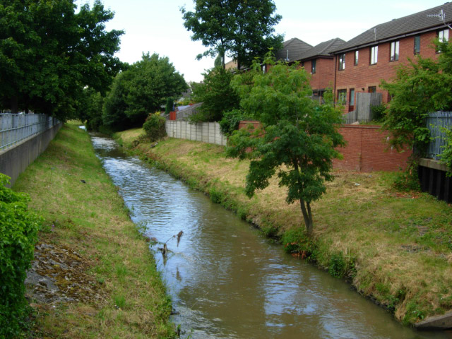
Image: © Stephen McKay Taken: 3 Jul 2008
The River Leen, whose name is believed to be a corruption of the Celtic word llyn (lake), flows southwards from its source in the Robin Hood Hills (near Kirkby in Ashfield) to the River Trent south of Lenton ('Leen-ton').
Images are licensed for reuse under creativecommons.org/licenses/by-sa/2.0
Image Location
Latitude
52.959773
Longitude
-1.181935