The Gannel
Introduction
The photograph on this page of The Gannel by Derek Harper as part of the Geograph project.
The Geograph project started in 2005 with the aim of publishing, organising and preserving representative images for every square kilometre of Great Britain, Ireland and the Isle of Man.

There are currently over 7.5m images from over 14,400 individuals and you can help contribute to the project by visiting https://www.geograph.org.uk
The Gannel
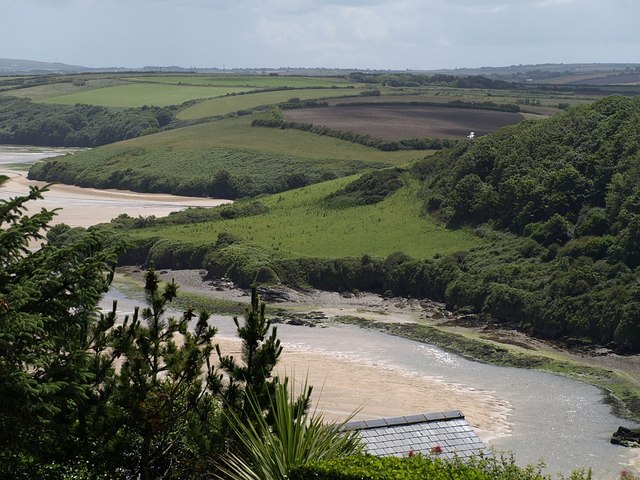
Image: © Derek Harper Taken: 3 Jul 2008
A tidal estuary on the south side of Newquay, seen from Riverside Avenue. The slope in the centre of the photo looks like a raised beach.
Images are licensed for reuse under creativecommons.org/licenses/by-sa/2.0
Image Location
Latitude
50.407435
Longitude
-5.103169