Lane End, Baildon (1963)
Introduction
The photograph on this page of Lane End, Baildon (1963) by Humphrey Bolton as part of the Geograph project.
The Geograph project started in 2005 with the aim of publishing, organising and preserving representative images for every square kilometre of Great Britain, Ireland and the Isle of Man.

There are currently over 7.5m images from over 14,400 individuals and you can help contribute to the project by visiting https://www.geograph.org.uk
Lane End, Baildon (1963)
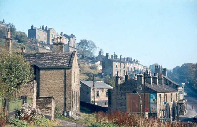
Image: © Humphrey Bolton Taken: Unknown
This is looking eastwards, in the opposite direction to the Lane End snow scene. Browgate can be seen on the right. Notice the old type of 'give way ahead' road sign.
Images are licensed for reuse under creativecommons.org/licenses/by-sa/2.0
Image Location


Leaflet Map data © OpenStreetMap
Latitude
53.851511
Longitude
-1.768906