Butler Lane, off Browgate, Baildon
Introduction
The photograph on this page of Butler Lane, off Browgate, Baildon by Humphrey Bolton as part of the Geograph project.
The Geograph project started in 2005 with the aim of publishing, organising and preserving representative images for every square kilometre of Great Britain, Ireland and the Isle of Man.

There are currently over 7.5m images from over 14,400 individuals and you can help contribute to the project by visiting https://www.geograph.org.uk
Butler Lane, off Browgate, Baildon
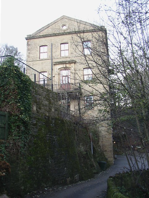
Image: © Humphrey Bolton Taken: 4 Dec 2005
This shows the gable-end of the former chapel, converted to flats, in the other photo. The lane continues to Church Hill and Hall Cliffe, but is only a footpath in the centre section.
Images are licensed for reuse under creativecommons.org/licenses/by-sa/2.0
Image Location


Leaflet Map data © OpenStreetMap
Latitude
53.851508
Longitude
-1.767386