Hampstead Norreys Village
Introduction
The photograph on this page of Hampstead Norreys Village by Pam Brophy as part of the Geograph project.
The Geograph project started in 2005 with the aim of publishing, organising and preserving representative images for every square kilometre of Great Britain, Ireland and the Isle of Man.

There are currently over 7.5m images from over 14,400 individuals and you can help contribute to the project by visiting https://www.geograph.org.uk
Hampstead Norreys Village
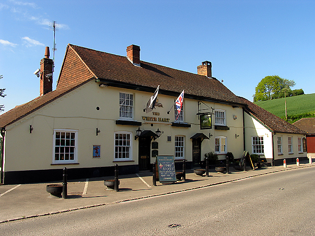
Image: © Pam Brophy Taken: 9 May 2005
This pub (The White Hart) is situated at the bottom of Forge Hill alongside a stream and next to farmland. The picture was taken looking north.
Images are licensed for reuse under creativecommons.org/licenses/by-sa/2.0
Image Location


Leaflet Map data © OpenStreetMap
Latitude
51.48493
Longitude
-1.230911