Robin Hood Crossroads
Introduction
The photograph on this page of Robin Hood Crossroads by Mick Garratt as part of the Geograph project.
The Geograph project started in 2005 with the aim of publishing, organising and preserving representative images for every square kilometre of Great Britain, Ireland and the Isle of Man.

There are currently over 7.5m images from over 14,400 individuals and you can help contribute to the project by visiting https://www.geograph.org.uk
Robin Hood Crossroads
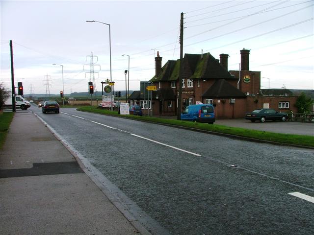
Image: © Mick Garratt Taken: 4 Dec 2005
Known as such after the pub. Taken from the south west on the B6030 to Clipstone.
Images are licensed for reuse under creativecommons.org/licenses/by-sa/2.0
Image Location
Latitude
53.182854
Longitude
-1.05574