Crown Point Bridge and Weir
Introduction
The photograph on this page of Crown Point Bridge and Weir by Steve Partridge as part of the Geograph project.
The Geograph project started in 2005 with the aim of publishing, organising and preserving representative images for every square kilometre of Great Britain, Ireland and the Isle of Man.

There are currently over 7.5m images from over 14,400 individuals and you can help contribute to the project by visiting https://www.geograph.org.uk
Crown Point Bridge and Weir
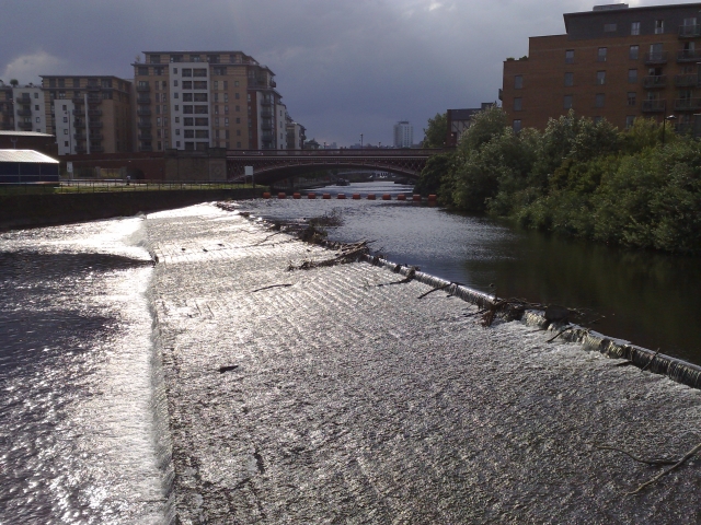
Image: © Steve Partridge Taken: 1 Jul 2008
Most of the buildings in this area are of 21st century construction, but it is still a nineteenth century bridge that connects them all. Rain followed shortly after.
Images are licensed for reuse under creativecommons.org/licenses/by-sa/2.0
Image Location
Latitude
53.793312
Longitude
-1.535451