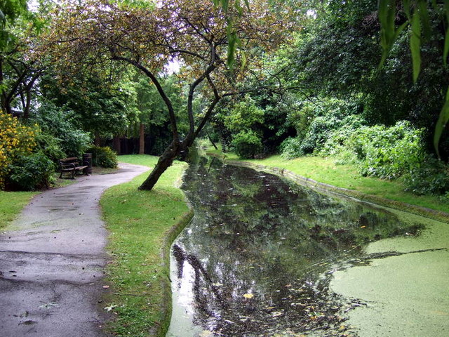
New River Walk
Introduction
The photograph on this page of New River Walk by Natasha Ceridwen de Chroustchoff as part of the Geograph project.
The Geograph project started in 2005 with the aim of publishing, organising and preserving representative images for every square kilometre of Great Britain, Ireland and the Isle of Man.
There are currently over 7.5m images from over 14,400 individuals and you can help contribute to the project by visiting https://www.geograph.org.uk

Image: © Natasha Ceridwen de Chroustchoff Taken: 27 Jun 2008
"The New River was built in the early 17th Century as a canal to convey drinking water from a spring in Hertfordshire to a reservoir in Myddleton Square, behind Sadler's Wells. The canal is now redundant and much of it has been filled in. Canonbury is fortunate in having a long section of the original waterway and this provides a very pleasant area for walking and a pleasant outlook for many houses. A flow of water in the River is maintained by pumping water upstream. This is necessary to control the growth of water weed. The maintenance and cleaning of the waterway is undertaken by volunteers known as the Friends of the New River Walk." See http://www.canonburysociety.org.uk/index.php?option=com_content&task=blogsection&id=9&Itemid=67

