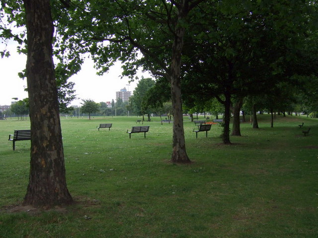
Trees in Shoreditch Park
Introduction
The photograph on this page of Trees in Shoreditch Park by Natasha Ceridwen de Chroustchoff as part of the Geograph project.
The Geograph project started in 2005 with the aim of publishing, organising and preserving representative images for every square kilometre of Great Britain, Ireland and the Isle of Man.
There are currently over 7.5m images from over 14,400 individuals and you can help contribute to the project by visiting https://www.geograph.org.uk

Image: © Natasha Ceridwen de Chroustchoff Taken: 27 Jun 2008
Peaceful now, this area has had a chequered history. A market garden before 1850, during latter half of the 19th century it became an area of high density housing, comprising terraced rows aligned along narrow streets. Many of these houses were badly damaged in the war; first by the blitz, and then by V1 and V2 rocket attacks. The remaining houses were demolished in the 1950s to make way for prefabs, before the site was levelled and turn into a community park during the 1980s. A community archaeology project here has found much C19 and C20 material revealing domestic conditions in the recent past. See http://www.museumoflondonarchaeology.org.uk/English/ComLearn/ComExcav/ShoreditchPark.htm

