Kingsbridge: old limekiln
Introduction
The photograph on this page of Kingsbridge: old limekiln by Martin Bodman as part of the Geograph project.
The Geograph project started in 2005 with the aim of publishing, organising and preserving representative images for every square kilometre of Great Britain, Ireland and the Isle of Man.

There are currently over 7.5m images from over 14,400 individuals and you can help contribute to the project by visiting https://www.geograph.org.uk
Kingsbridge: old limekiln
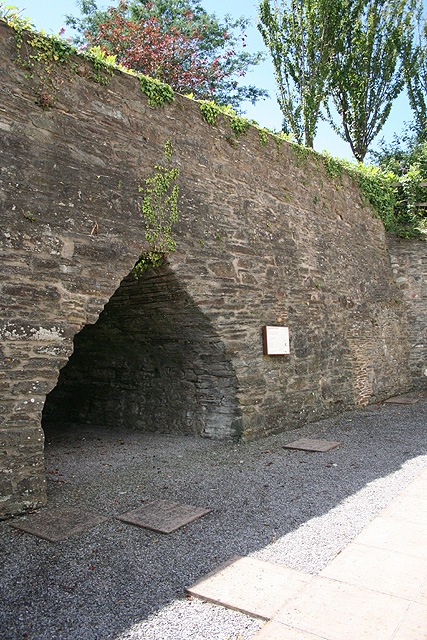
Image: © Martin Bodman Taken: 3 Jul 2008
Preserved limekiln beside the town’s lower car park. Culm and limestone burnt in the kiln would have been shipped in to the nearby quay in the nineteenth century.
Images are licensed for reuse under creativecommons.org/licenses/by-sa/2.0
Image Location


Leaflet Map data © OpenStreetMap
Latitude
50.281835
Longitude
-3.776576