Dollis Brook
Introduction
The photograph on this page of Dollis Brook by Martin Addison as part of the Geograph project.
The Geograph project started in 2005 with the aim of publishing, organising and preserving representative images for every square kilometre of Great Britain, Ireland and the Isle of Man.

There are currently over 7.5m images from over 14,400 individuals and you can help contribute to the project by visiting https://www.geograph.org.uk
Dollis Brook
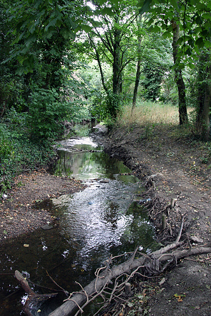
Image: © Martin Addison Taken: 29 Jun 2008
A bit more constricted here, but with a clear flow as a result, the brook cuts its way through gravel - these gravel beds around the Finchley area are believed to be remnants of glacier deposits from the last ice age.
Images are licensed for reuse under creativecommons.org/licenses/by-sa/2.0
Image Location
Latitude
51.595721
Longitude
-0.209481