Waverley Grove
Introduction
The photograph on this page of Waverley Grove by Martin Addison as part of the Geograph project.
The Geograph project started in 2005 with the aim of publishing, organising and preserving representative images for every square kilometre of Great Britain, Ireland and the Isle of Man.

There are currently over 7.5m images from over 14,400 individuals and you can help contribute to the project by visiting https://www.geograph.org.uk
Waverley Grove
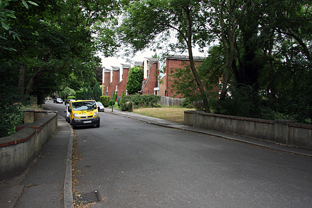
Image: © Martin Addison Taken: 29 Jun 2008
Looking across the bridge over Dollis Brook to the houses beyond. The road is no longer a through route and is lightly used as a result.
Images are licensed for reuse under creativecommons.org/licenses/by-sa/2.0
Image Location
Latitude
51.59413
Longitude
-0.211276