Chalk Lane, Cockfosters, Hertfordshire
Introduction
The photograph on this page of Chalk Lane, Cockfosters, Hertfordshire by Christine Matthews as part of the Geograph project.
The Geograph project started in 2005 with the aim of publishing, organising and preserving representative images for every square kilometre of Great Britain, Ireland and the Isle of Man.

There are currently over 7.5m images from over 14,400 individuals and you can help contribute to the project by visiting https://www.geograph.org.uk
Chalk Lane, Cockfosters, Hertfordshire
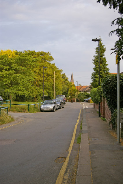
Image: © Christine Matthews Taken: 1 Jul 2008
Chalk Lane with the entrance to the Cricket Club car park on the left. The spire of Christ Church can be seen in the distance.
Images are licensed for reuse under creativecommons.org/licenses/by-sa/2.0
Image Location
Latitude
51.65257
Longitude
-0.152598