Roadside Cross, Doniford.
Introduction
The photograph on this page of Roadside Cross, Doniford. by Andrew Riley as part of the Geograph project.
The Geograph project started in 2005 with the aim of publishing, organising and preserving representative images for every square kilometre of Great Britain, Ireland and the Isle of Man.

There are currently over 7.5m images from over 14,400 individuals and you can help contribute to the project by visiting https://www.geograph.org.uk
Roadside Cross, Doniford.
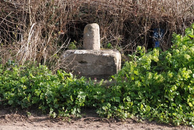
Image: © Andrew Riley Taken: 18 Mar 2007
Grade II*, Scheduled Ancient Monument. Early 15th Century.
Images are licensed for reuse under creativecommons.org/licenses/by-sa/2.0
Image Location
Latitude
51.177858
Longitude
-3.305783