Ure Flood Levels
Introduction
The photograph on this page of Ure Flood Levels by David Rogers as part of the Geograph project.
The Geograph project started in 2005 with the aim of publishing, organising and preserving representative images for every square kilometre of Great Britain, Ireland and the Isle of Man.

There are currently over 7.5m images from over 14,400 individuals and you can help contribute to the project by visiting https://www.geograph.org.uk
Ure Flood Levels
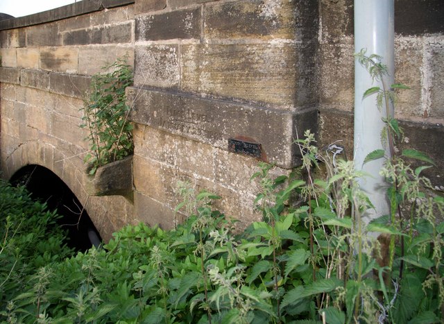
Image: © David Rogers Taken: 8 Jun 2008
River levels on the Ure have been recorded on North Bridge at Ripon. The metal plate shows the flood level on 24-02-91, while inscribed beyond is the water level on January 29th 1883. Another older inscription denotes a lower flood level but the letters are worn. Image
Images are licensed for reuse under creativecommons.org/licenses/by-sa/2.0
Image Location


Leaflet Map data © OpenStreetMap
Latitude
54.142868
Longitude
-1.517772