Manor View
Introduction
The photograph on this page of Manor View by Martin Addison as part of the Geograph project.
The Geograph project started in 2005 with the aim of publishing, organising and preserving representative images for every square kilometre of Great Britain, Ireland and the Isle of Man.

There are currently over 7.5m images from over 14,400 individuals and you can help contribute to the project by visiting https://www.geograph.org.uk
Manor View
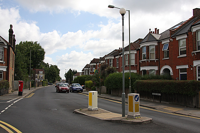
Image: © Martin Addison Taken: 29 Jun 2008
Looking towards Squires lane and the bridge over the Northern Line from opposite Briarfield Avenue. The two mini roundabouts here, one at the junction with Lichfield Grove and the other at Station Road, have recently been removed.
Images are licensed for reuse under creativecommons.org/licenses/by-sa/2.0
Image Location
Latitude
51.597168
Longitude
-0.186612