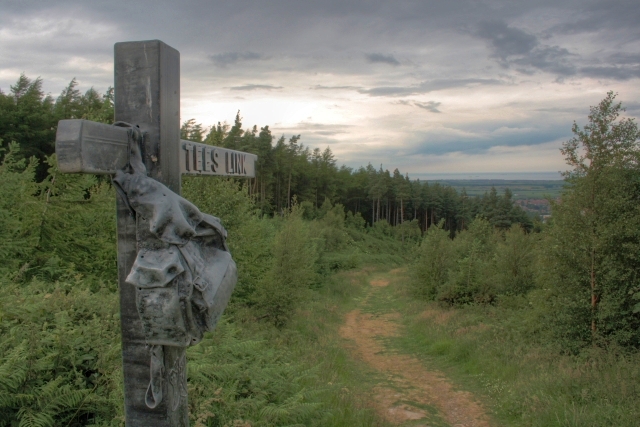
Looking Down Green Hill
Introduction
The photograph on this page of Looking Down Green Hill by Mick Garratt as part of the Geograph project.
The Geograph project started in 2005 with the aim of publishing, organising and preserving representative images for every square kilometre of Great Britain, Ireland and the Isle of Man.
There are currently over 7.5m images from over 14,400 individuals and you can help contribute to the project by visiting https://www.geograph.org.uk

Image: © Mick Garratt Taken: 3 Jul 2008
From http://www.redcar-cleveland.gov.uk/main.nsf/web+full+list/61ae4270da0882cb80256cec005ba9a5?opendocument : "The Tees Link is a 17km trail which connects the Cleveland Way at Highcliff Nab to The Teesdale Way at Middlesbrough Dock. The Tees Link leaflet illustrates a longer walk, spanning the Tees Valley from Saltburn to Yarm, enabling anyone to enjoy a walk between town and country. The Tees Link accommodates long distance walkers as part of the E2 European route from Harwich to Stranraer. The map on the leaflet highlights points of interest on route but when walking follow waymarkers illustrated and ordnance survey maps. Art features on the route are functional, marking the way and highlighting what local people want to see in their environment. Artists were commissioned to design the distinctive route features and the waymarker discs with community groups who live on or near the trail." The trail at this point descends Green Hill through Kemplah Woods to Guisborough. In the very far distance is the North Sea.

