Land Drains
Introduction
The photograph on this page of Land Drains by Chris Court as part of the Geograph project.
The Geograph project started in 2005 with the aim of publishing, organising and preserving representative images for every square kilometre of Great Britain, Ireland and the Isle of Man.

There are currently over 7.5m images from over 14,400 individuals and you can help contribute to the project by visiting https://www.geograph.org.uk
Land Drains
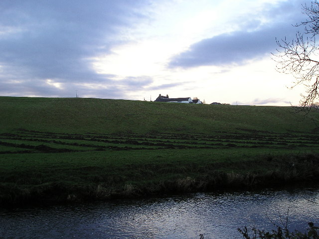
Image: © Chris Court Taken: 4 Dec 2005
Newly dug land drains at the bottom of a field adjacent to the river Garnock. Woodgreen farmhouse is on the skyline.
Images are licensed for reuse under creativecommons.org/licenses/by-sa/2.0
Image Location


Leaflet Map data © OpenStreetMap
Latitude
55.662547
Longitude
-4.696163