The Gallops bridleway crosses Bost Hill
Introduction
The photograph on this page of The Gallops bridleway crosses Bost Hill by Slbs as part of the Geograph project.
The Geograph project started in 2005 with the aim of publishing, organising and preserving representative images for every square kilometre of Great Britain, Ireland and the Isle of Man.

There are currently over 7.5m images from over 14,400 individuals and you can help contribute to the project by visiting https://www.geograph.org.uk
The Gallops bridleway crosses Bost Hill
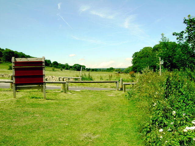
Image: © Slbs Taken: 17 Jun 2008
Near the bottom of the hill. The rising ground to the left of the photograph is West Hill.
Images are licensed for reuse under creativecommons.org/licenses/by-sa/2.0
Image Location
Latitude
50.853946
Longitude
-0.404691